|
|
Signal Peak Fire LookoutLocated in the United States Forest Service's,Sierra National Forest, Bass Lake Ranger District |
![]()
Signal Peak's GPS location is 37.529°N / 119.740°W, Placed on the National Historic Lookout Register on 3/31/2005 as Lookout No. 639 |
![]()
|
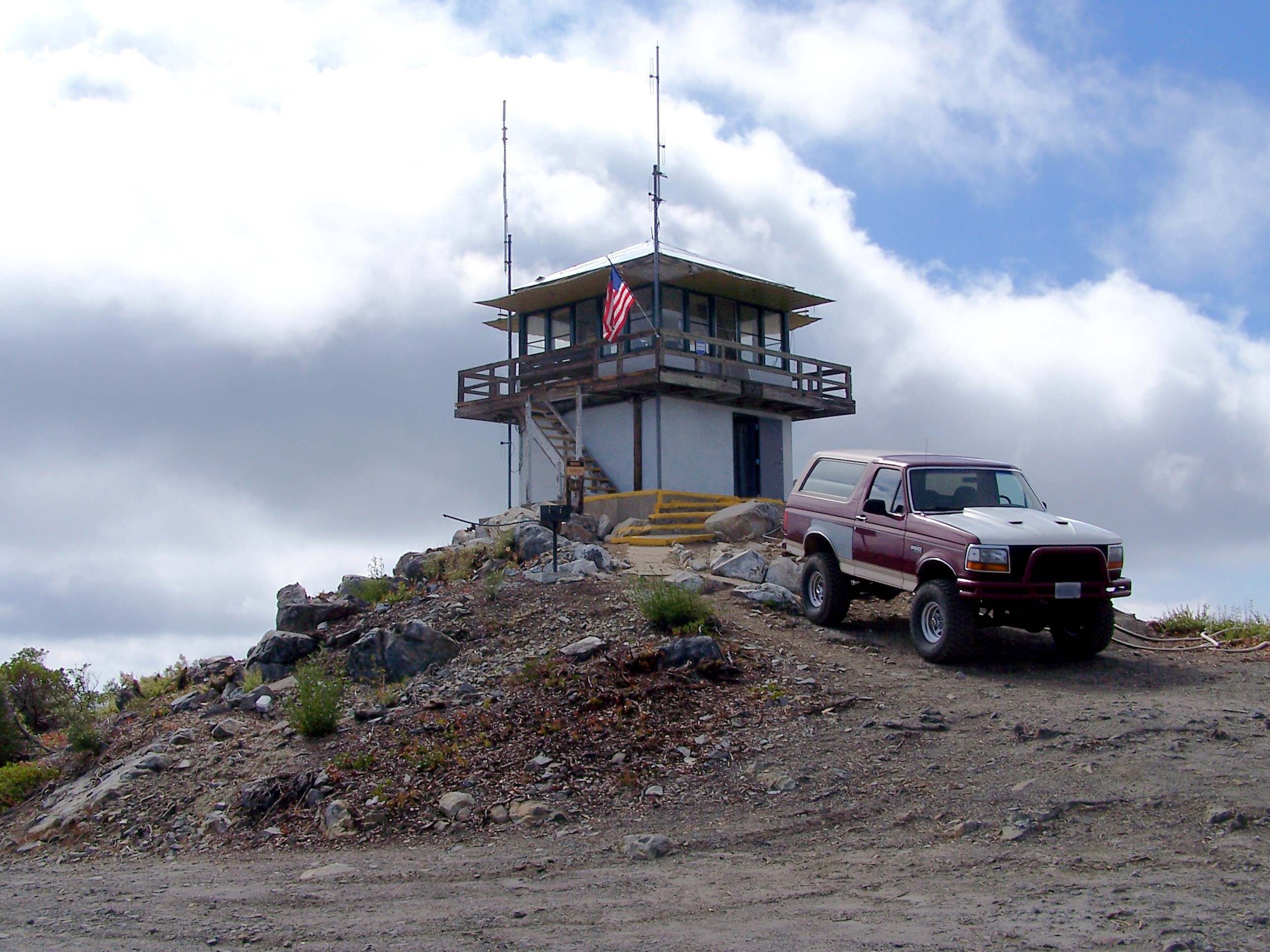
Signal Peak (Devils Peak) Lookout located at 7079 feet in elevation, has been closed for several years now due to Forest Service funding cutbacks. There is no access to the tower or surrounding area to the general public short of hiking. The towers map location is Township 5 South, Range 20 East, Section 1 on the Sierra National Forest Map. Signal Peak Lookout was originally constructed in 1900 as a compass lookout. In 1911 it was rebuilt as a 12' x 16' cabin by Ray Smithers. It had windows on all four sides and a phone was installed. In 1916 a octagonal second story was added to the cabin. In 1926 a 4AR type house was constructed. The 14' x 14' wood hip roofed lookout house had a steep 12/12 pitch roof with 2 pane windows and door in the center of the wall. In 1951 the lookout was rebuilt in the current configuration as it is today. The C-3(L) type tower is a 14' x 14' hip roofed wood tower standing on a 10' x 10' concrete block base. FFLA (Forest Fire Lookout Association) Reports for the year:2010The Sierra National Forest made repairs to Signal Peak Lookout, which is still staffed for fire detection. The catwalk and door jam were replaced and the firefinder refurbished. 2011Signal has had the deck and stair assembly replaced and a biodegradable toilet is to be installed. Exterior painting will also be part of the continued renovations. 2012Signal Lookout Renovations: Renovations were completed by the SNF, new catwalk and railings were installed. A biodegradable toilet is scheduled for installation in FY2013. The Fire Finder base cabinet will be raised and adjusted to better visibility with new railing. A microwave internet bridge was installed and operational between Signal Lookout and Miami Lookout for internet service at Signal Lookout. This was funded privately. |

Click on the thumbnail above to view the 10/2008 panorama full size. This is a large file and may take a few minutes to load. |
![]()
|
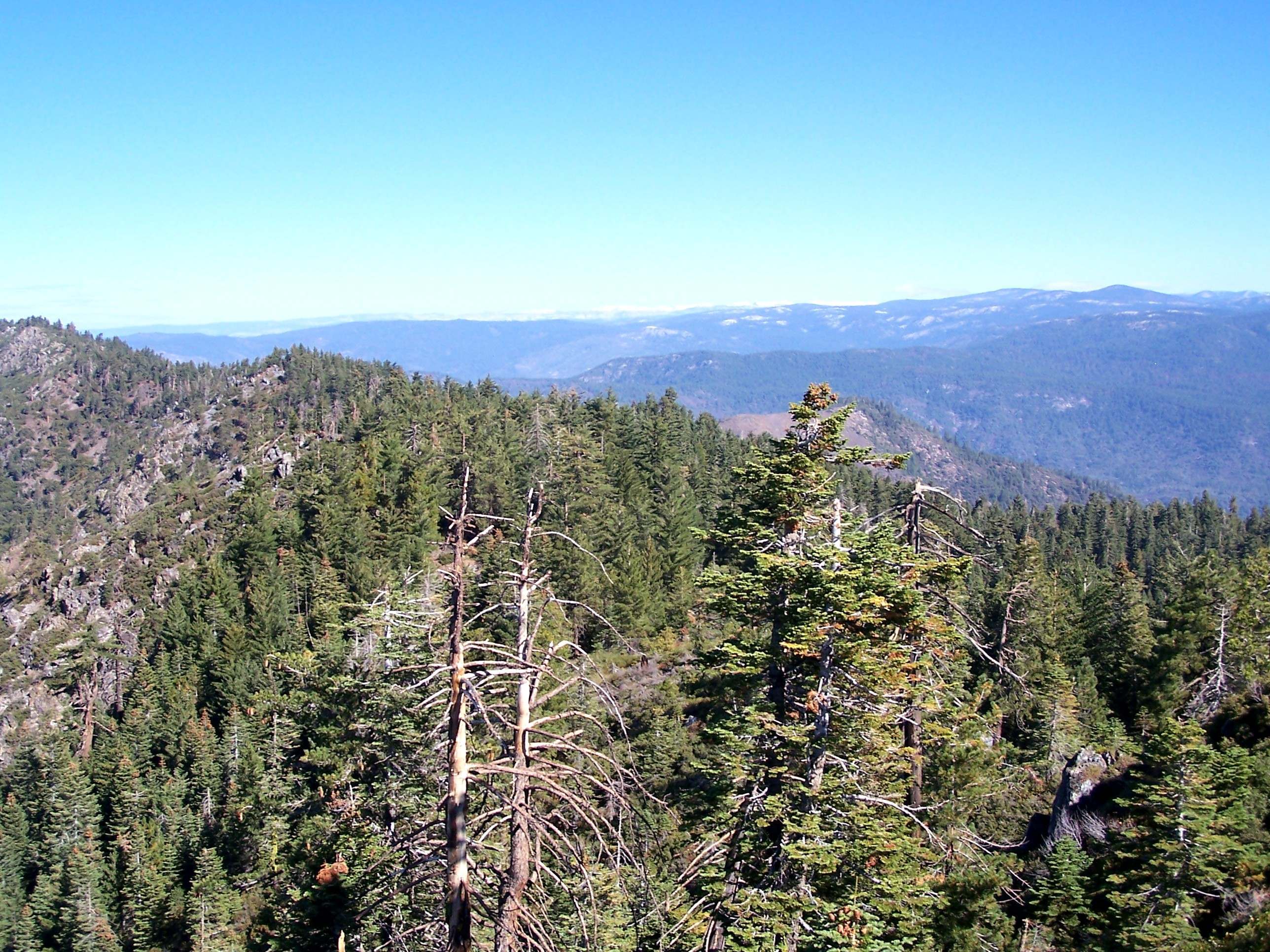
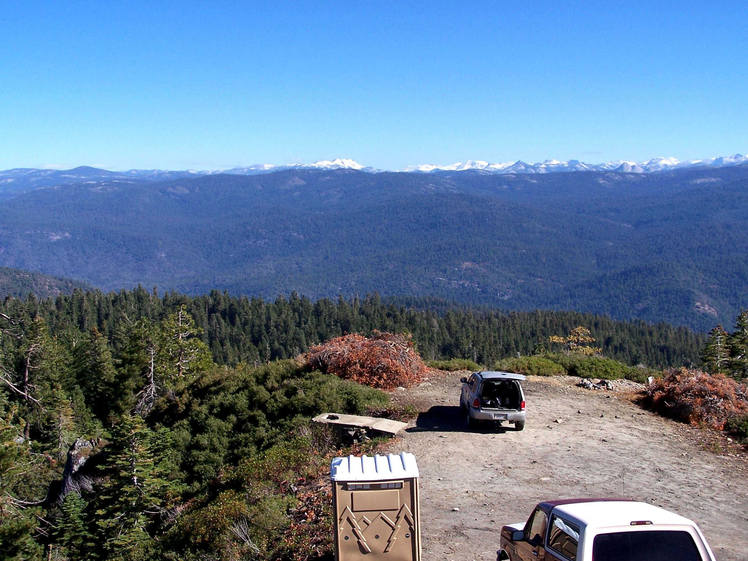
The following is a photo pan from the lookout with a brief description, the photos do overlap. Also clicking on the photo will open a seperate 450kb+ high resolution window for better viewing. |
|
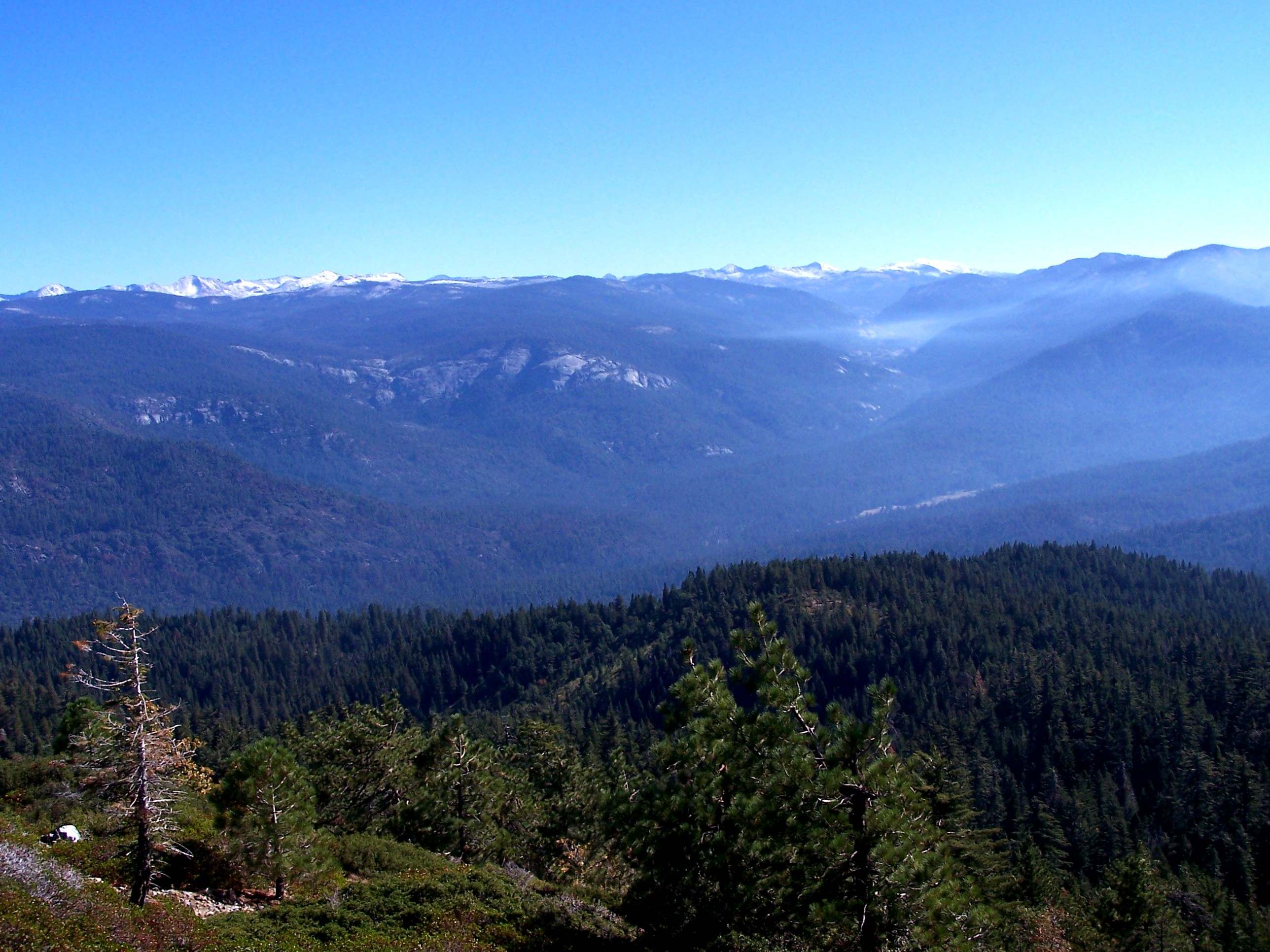
10/2008 looking North into Yosemite National Park and North & East into Y.N.P.. |

|
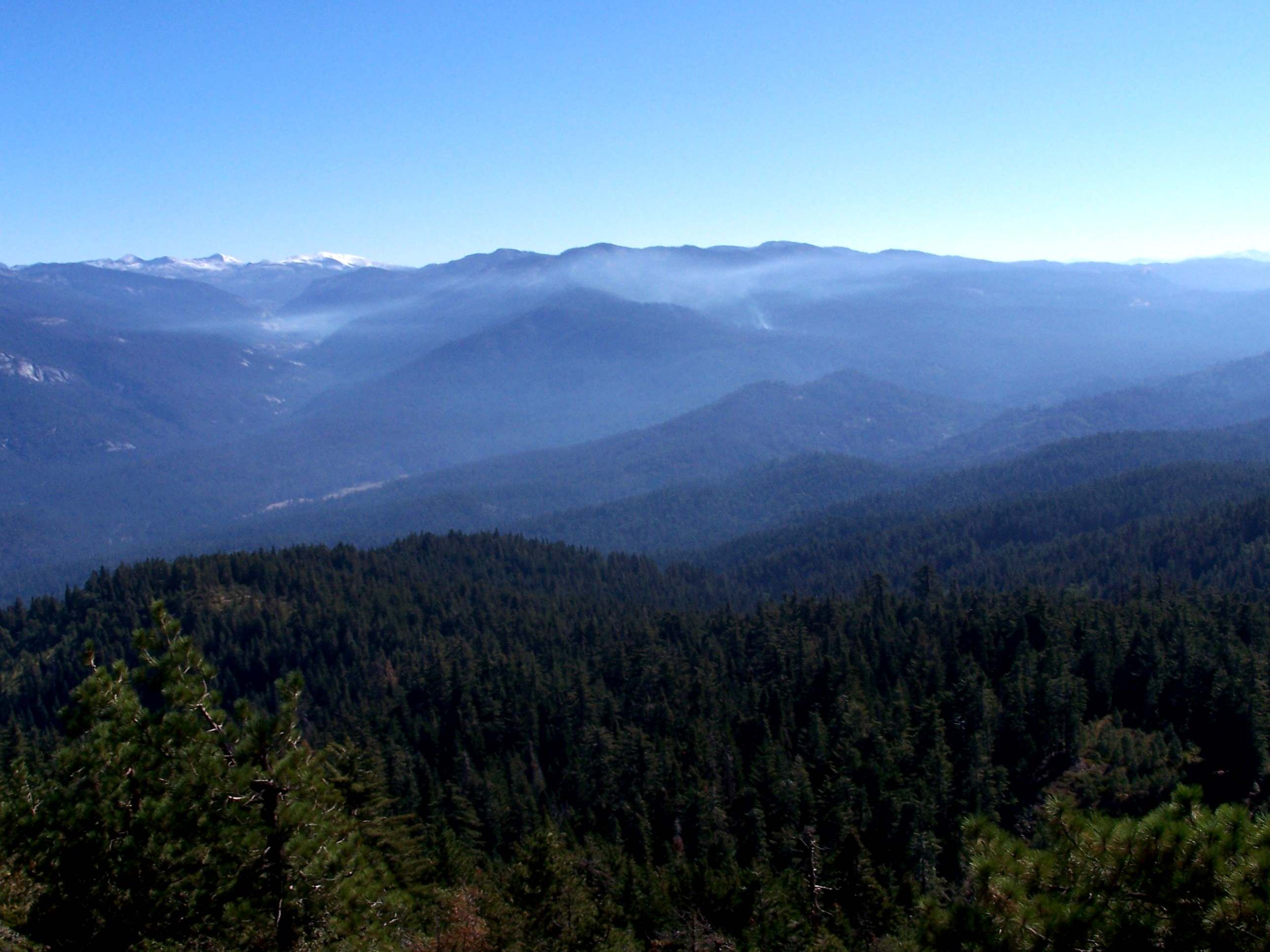
10/2008 looking East & North into Y.N.P. and East into Wawona Basin. |
|
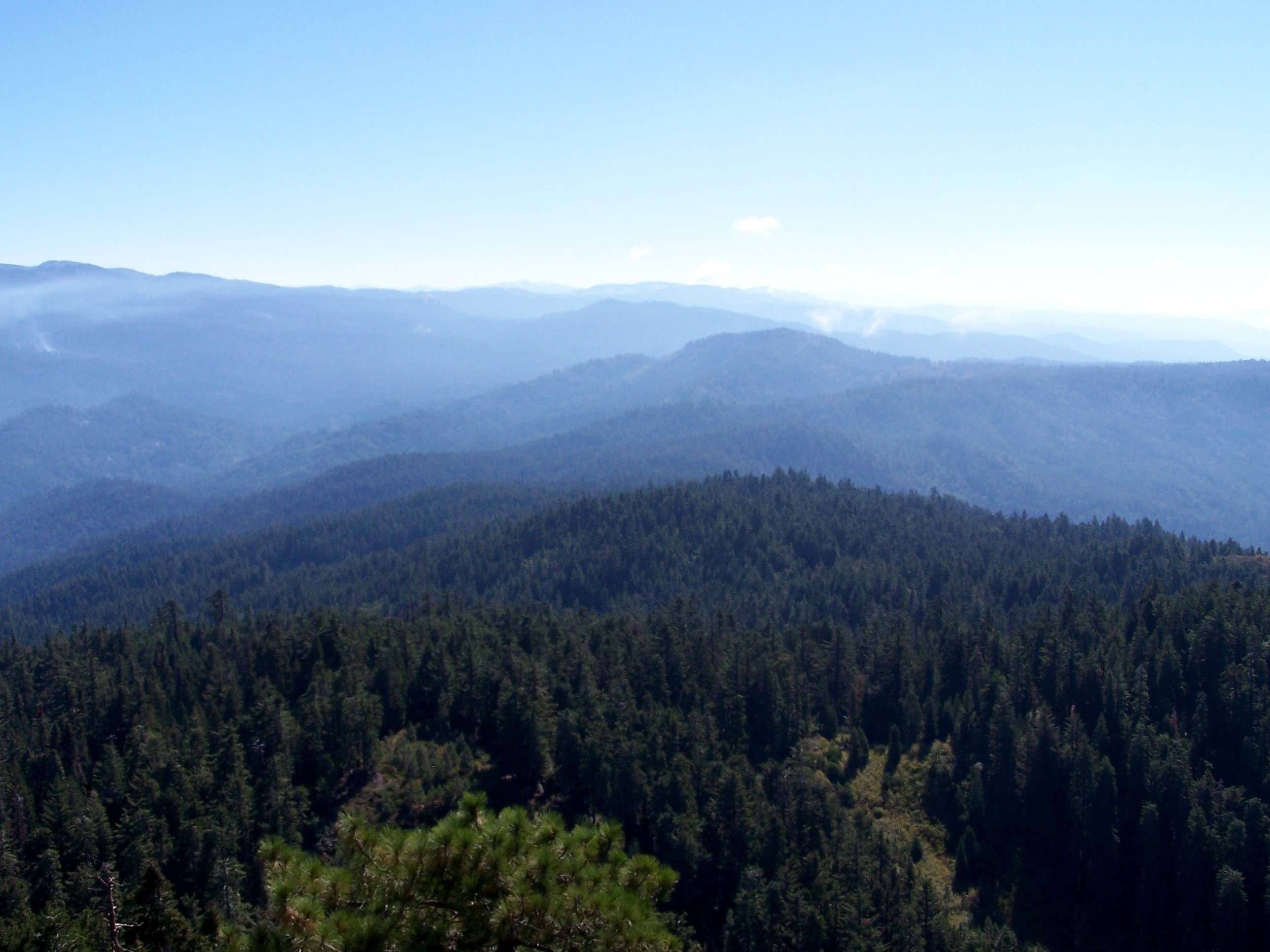
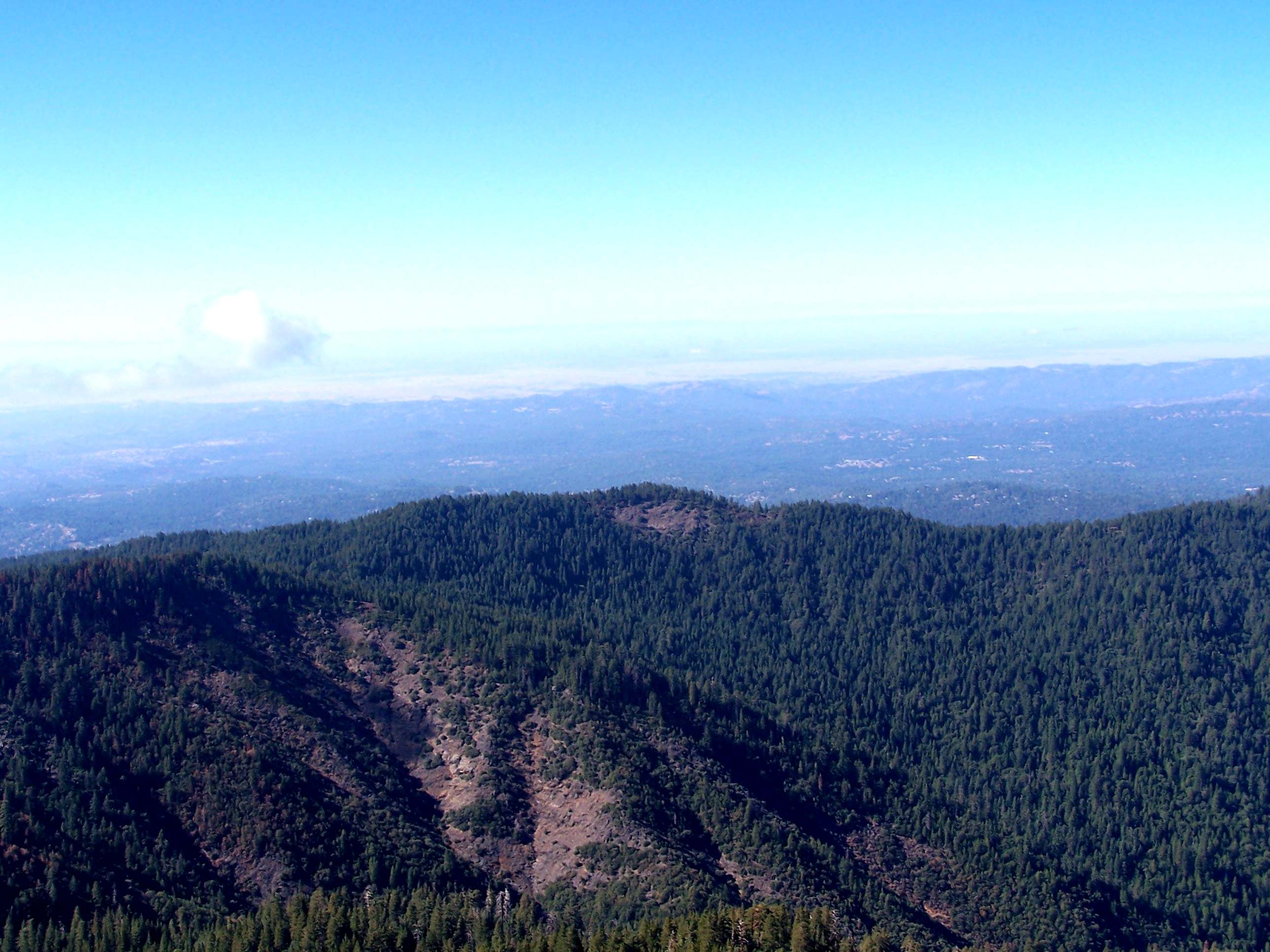
10/2008 Looking South & East into Wawona and the Sierra National Forest, the 10/2008 Wawona Burn is visible in photos. |
|
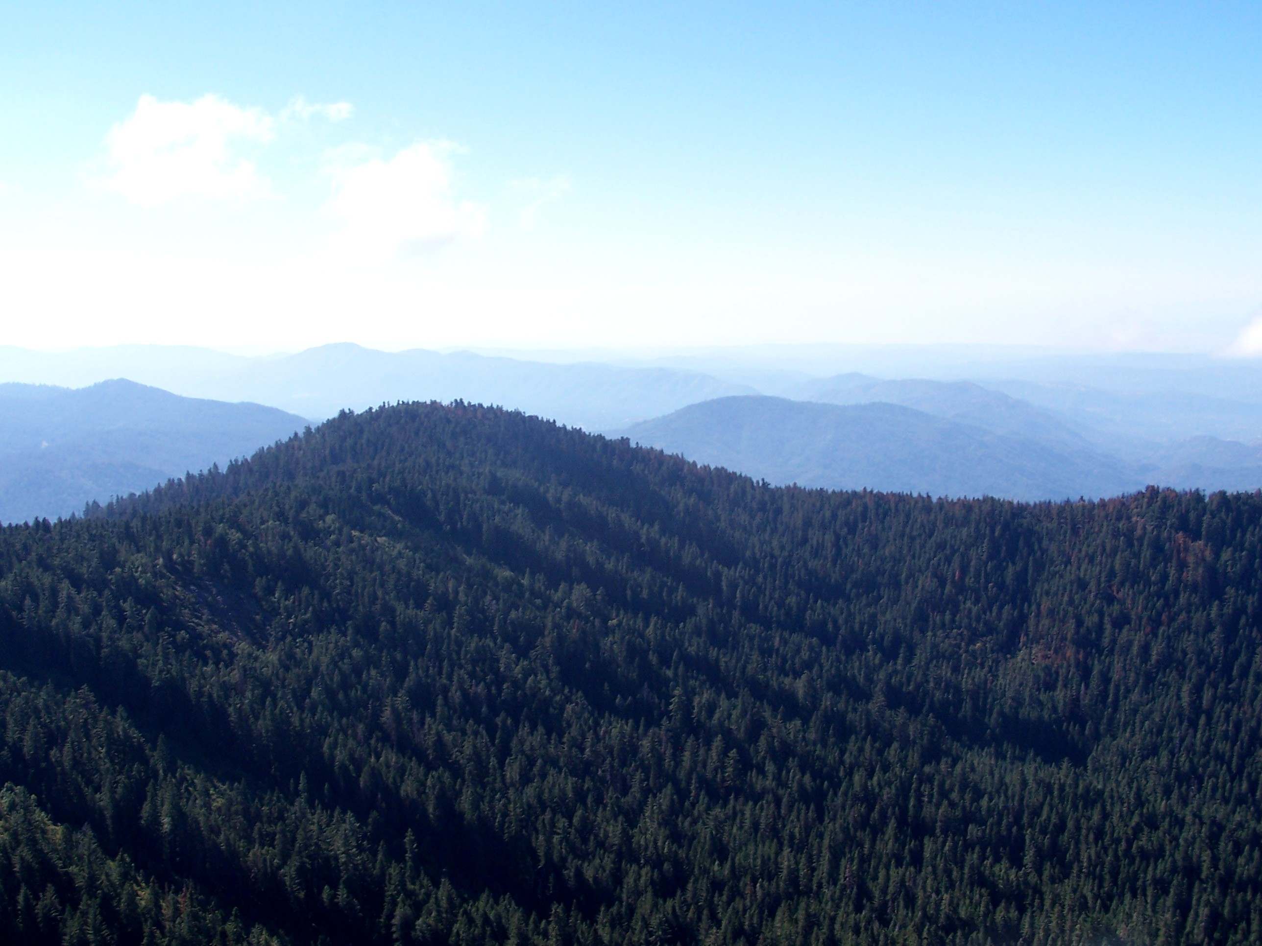
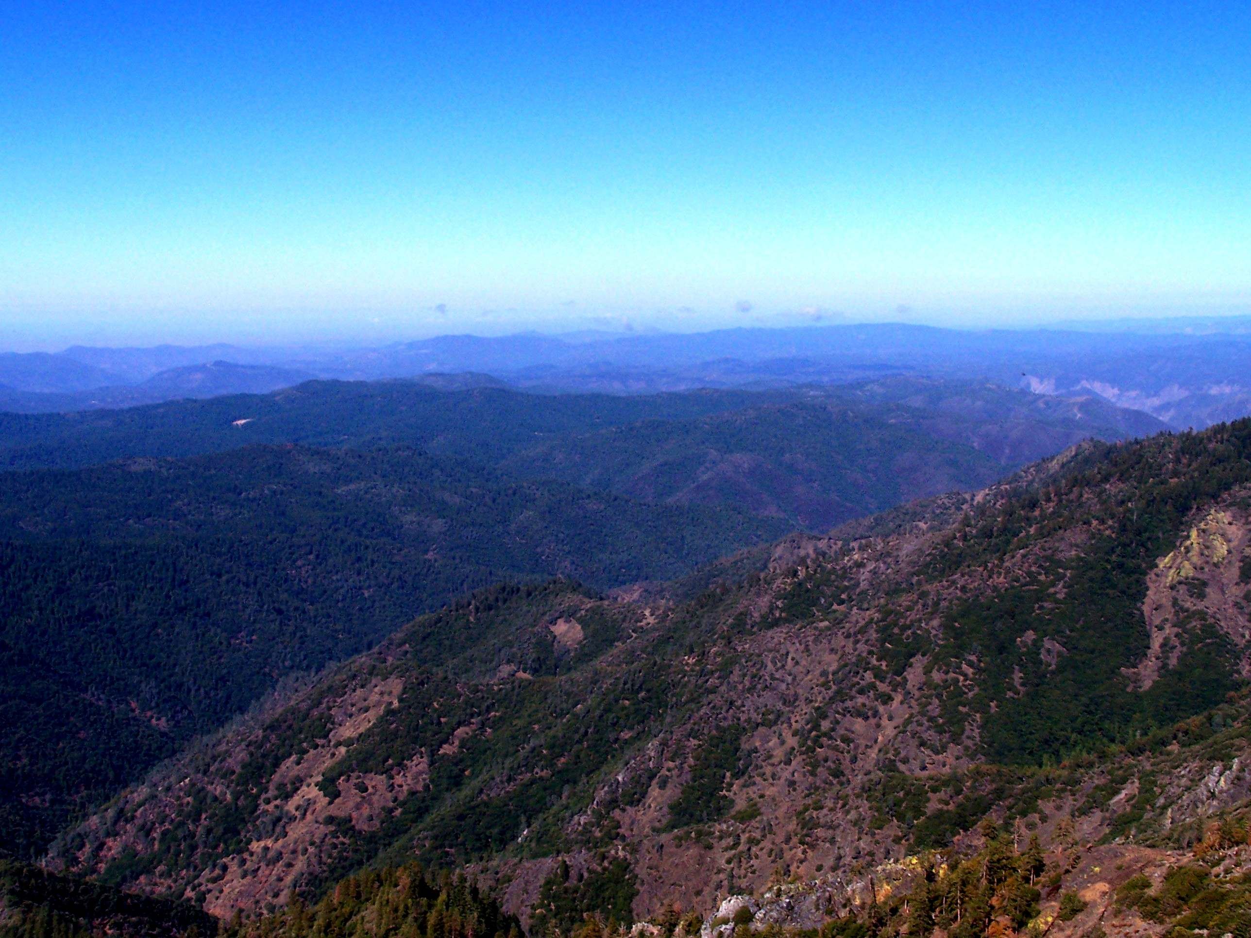
10/2008 Looking South towards Crow Peak & Miami Mountain just right of peak and South & West into Madera & Mariposa Valley. |

|
10/2008 Looking West towards Chowchilla Mountain & Mariposa and North & West into the Merced River Canyon. The tower history was provided by Mark Swift and was compiled from several sources. |
![]()
| These are private web pages and are not maintained by any governmental agency, all representations are for educational and informational purposes only! See Disclaimer and Legal Stuff for more details. |
1995 Miami Mountain Volunteer Fire Lookouts
fire-lookouts.org
All Rights Reserved